
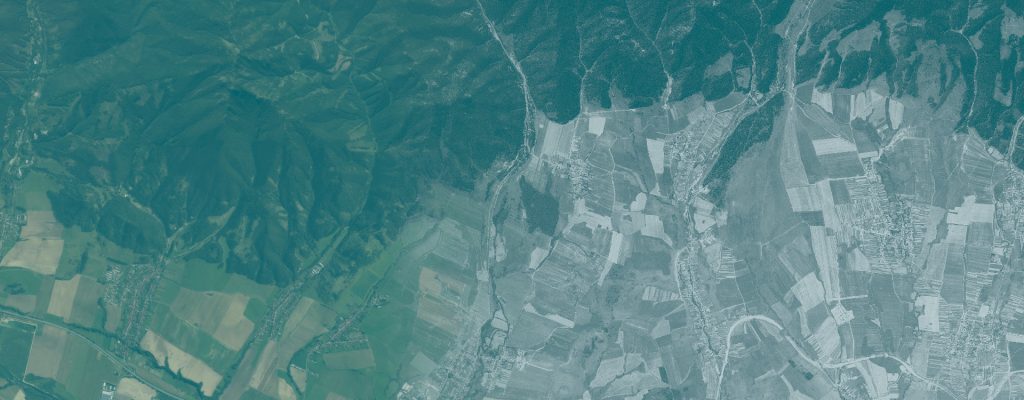
The RETROCHANGE project provides georeferenced historical satellite imagery datasets derived from declassified KH-9 HEXAGON satellite imagery acquired in 1975.
The original imagery was processed, georeferenced, and mosaicked by the Technical University in Zvolen. The resulting datasets are distributed as GeoTIFF map-sheet packages for retrospective forest and landscape change analysis, historical land-cover mapping, and reproducible geospatial research.
Available Datasets
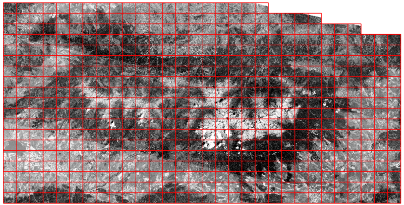
High Tatras – 1975 KH-9 Satellite Imagery
Georeferenced mosaic of historical KH-9 satellite imagery covering the High Tatras region of Slovakia and Poland (551 map-sheets).
Acquisition date: 27 June 1975
Poloniny–Bieszczady – 1975 KH-9 Satellite Imagery
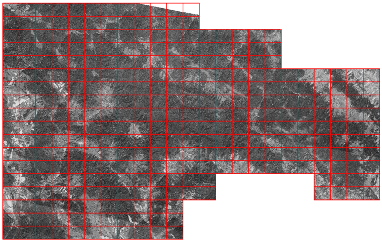
Georeferenced mosaic of historical KH-9 satellite imagery covering the Poloniny–Bieszczady cross-border study area (326 map-sheets).
Acquisition date: 18 September 1975
Data Format and Organization
Both datasets are distributed as ZIP packages containing GeoTIFF raster tiles organized according to a 1:5,000 map-sheet grid.
Technical specifications:
- Format: GeoTIFF
- Coordinate reference system: EPSG:5514 – S-JTSK / Krovak East North
- Output pixel size: 0.5 m
- Map-sheet extent: 2.5 × 2.0 km
- Acquisition year: 1975
The 0.5 m pixel spacing describes the output raster grid and does not imply 0.5 m positional accuracy.
Each package includes supporting documentation, metadata, licensing information, and recommended citation instructions.
Access and Download
Explore the available datasets, view their geographic coverage, and access the GeoTIFF packages through the RETROCHANGE Data Download Portal.
Registration is required before downloading RETROCHANGE data. Subscription to project news and updates is optional.
Browse and Download RETROCHANGE Data Packages
License and Terms of Use
The RETROCHANGE-derived datasets are made available under the Creative Commons Attribution 4.0 International (CC BY 4.0) license, to the extent of the rights held by the Technical University in Zvolen.
The license permits sharing, adaptation, and reuse, including commercial use, provided that the applicable attribution requirements are met.
The original KH-9 satellite imagery was obtained from the U.S. Geological Survey (USGS), Earth Resources Observation and Science (EROS) Center.
Positional and radiometric accuracy may vary due to the characteristics of historical satellite imagery and the georeferencing process. The datasets are not intended for cadastral, legal, engineering, or survey-grade applications.
For detailed information on data provenance, processing, citation, and licensing, please refer to the README.txt, METADATA.txt, and LICENSE.txt files included in the data packages.