
RETROCHANGE Showcase: From Historical Satellite Imagery to Reproducible Forest and Landscape Change Analysis
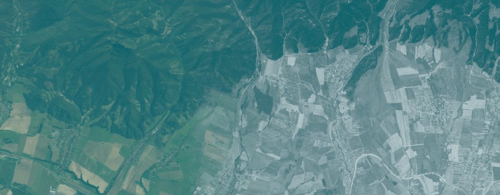
The event will present the RETROCHANGE methodology, project outputs, and practical use cases demonstrating how historical satellite imagery can support retrospective forest and landscape change analysis and reproducible geospatial research. We would also be pleased to discuss how reproducible geospatial workflows and research outputs can be supported, shared, and made accessible through EOSC Nodes and the wider EOSC infrastructure.
Date: October 7, 2026
Time: 13:00 CEST (UTC + 2)
Format: Online
Language: English
The link to the online meeting will be sent to registered participants before the event.
Program
13:00 – Opening
- Welcome and introduction
Milan Koreň, Technical University in Zvolen - EOSC Gravity
- EOSC Node Slovakia
Dávid Cymbalak, CVTI SR
13:20 – RETROCHANGE methodology and project outputs
Milan Koreň, Technical University in Zvolen
13:30 – Use cases
- Disturbance Regime in Carpathian Beech Old-Growth Forests: Canopy Gaps from Declassified 1975 KH-9 Satellite Imagery
Ladislav Šumichrast, Technical University in Zvolen - Analysis of Forest Fragmentation and Forest Edges from Historical Satellite Imagery: A Reproducible Tool for the EOSC Federation
Ladislav Šumichrast, Technical University in Zvolen - Mapping Historical Land Cover in the High Tatras Using 1975 Satellite Imagery
Šimon Saloň, Roman Kadlečík, Technical University in Zvolen - Evaluating Image-Derived Features for Mountain Forest Classification from Historical KH-9 Imagery
Roman Sitko, Technical University in Zvolen
14:30 – Discussion and closing
Registration
Please register for the event using the following registration form: RETROCHANGE Showcase Registration – Fill out form