As basis for the benchmark have established two research plots in each of the three countries of applicants. The main criterion for the plot selection was to cover the most common species composition in the region and to include coniferous as well as deciduous tree species.
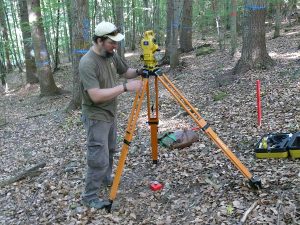
The field data collection was carried out with an uniform acquisition scheme to ensure the comparability of the derived data and include the reference data acquisition as well as the image acquisition. For the reference data acquisition the exact positions and sizes of the research plots were be determined by the total station. The total station was used for exact measuring of stem position within a plot.

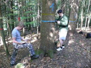
We used a calliper for DBH measurement with two perpendicular measurements. In addition a tape was used for DBH determination . For height measurement we used electronic inclinometer Vertex , whereas two independent measurements were carried out to increase the accuracy.

Another important reference data is stem curve data. We derived stem curve from point cloud captured by terrestrial laser scanners with very high spatial accuracy. For representing the stem curve the stem diameter was determined in every meter in the TLS point cloud.